Wulijie Eco-City


Project Information
- Project Location:
- China Wuhan, Hubei
- Project Scale:
- 10 Square Kilometers
- Design Time:
- August 2009
- Build Time:
- October 2013
- Award List:
- -
- Related Papers
Project Profile
1. Project Statement
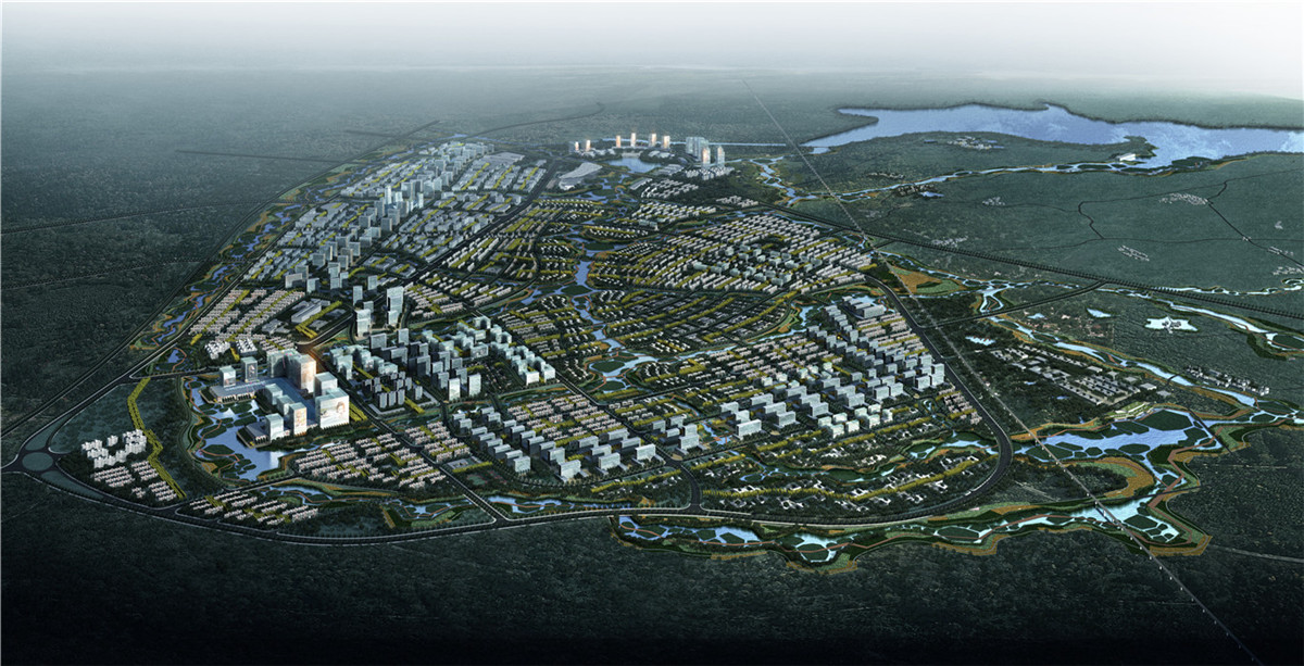
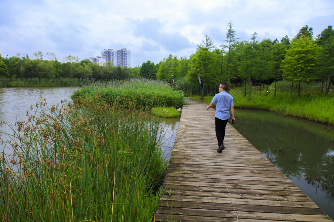
Wulijie new town is 10 square kilometers (6.2 square miles) in the eastern part of Wuhan about 30 kilometers (19 miles) from the city center. Just to its west is a large high tech area called Optics Valley, and at its south and east is the protected, high-water-quality Liang Zhi Hu Lake, to which the water from the Wulijie is drained. The climate is hot and rainy in the summer and cold in the winter. Precipitation is around 1200 millimeters (47 inches) per year; the average high temperature in the summer is 38 Centigrade (100 Fahrenheit), and the average low temperature in the winter is just above freezing. The elevations are between 15 and 100 meters, with a landform of rolling hills, small basins, and many ponds of different sizes that catch stormwater. Helping alleviate both floods and draughts, the ponds are important features in this previously agricultural land.
Wulijie is planned to be one of many new towns in China to accommodate rapid urbanization. It will have 100,000 residents, of which 10% will be current locals and 90% immigrants who will work in Optics Valley and the new town.
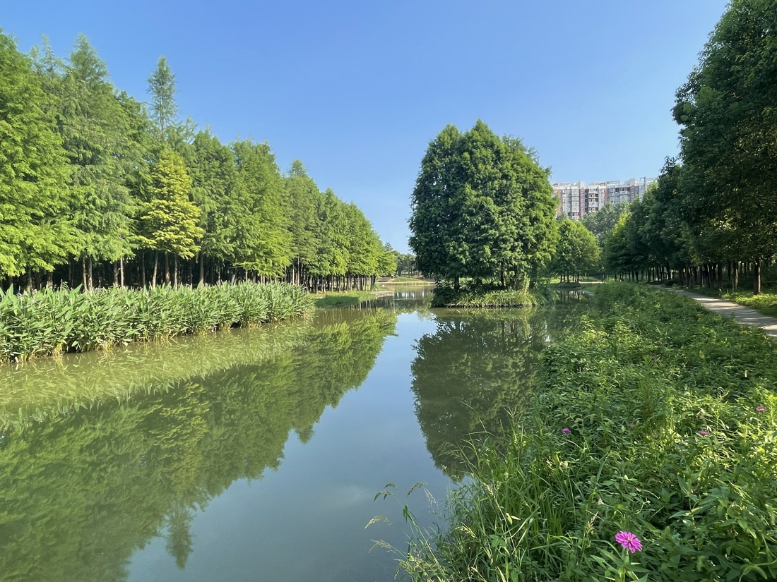
The main urban design concept for the town is to use landscape as ecological infrastructure to integrate various natural and cultural processes to frame the city, and to provide diverse ecosystem services for the residents. Integration and connectivity of natural, biological, and cultural processes are central to the project.
2. Design Strategy
Here are the urban design strategies for the town:
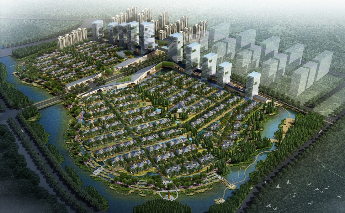
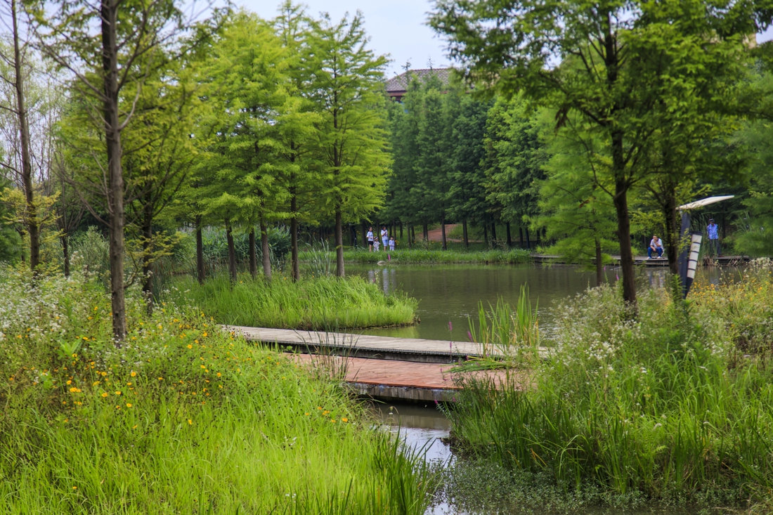
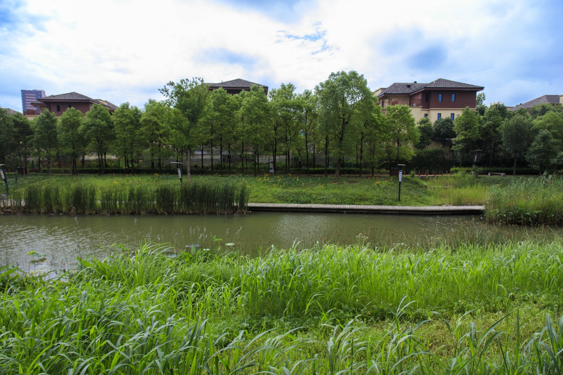
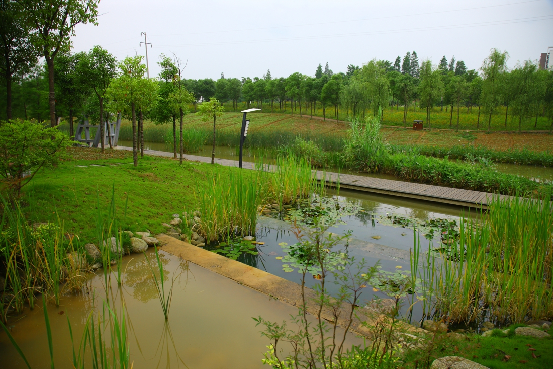
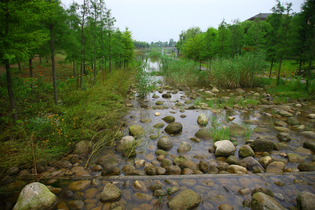
A water-based ecological infrastructure (EI) will organize the town. The EI is designed around the existing water systems and land forms. The key functions are to retain and clean stormwater. Different rainfall amounts are simulated to determine the area and pattern of the pond/wetland system so that all stormwater will be retained on site and will have little impact on the regional water system. This will reduce the construction costs of underground drainage pipes and preserve or create habitat for native wildlife and wetland vegetation such as lotus, wild rice stem, water chestnut, water caltrop, and Chinese arrowhead.
Public spaces are integrated with the EI. Three levels of green and water corridors are designed to accommodate various functions. The main corridors are 120 to 150 meters wide and will catch runoff from the whole area during the severest storms. Secondary corridors are 60 to 90 meters wide, and these will catch runoff from the subdivisions of the watershed during medium rainstorms. The third level corridors are 20 to 30 meters wide and will catch the water of small storms.
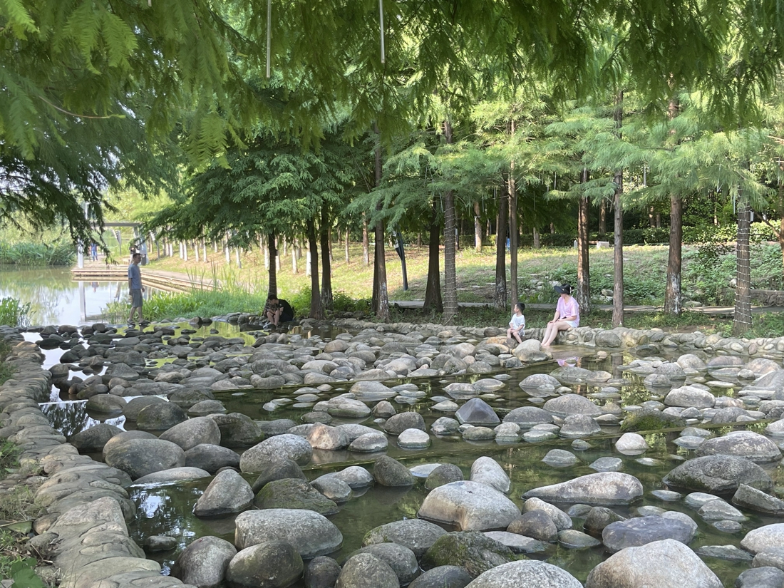
A network of pedestrian trails and bicycle paths will make the town completely walkable and allow residents to commute and have recreational experiences in the green space. While the regional mobility of the city is still serviced by a transit system and roads, the town will use the EI help people move around. The maximum walking distance from any corner of the town to a bus station will be 600 meters, and all residents will be able to reach the green network within five minutes.
Urban land is valued according to its relationship with EI. The land overlooking the ecological infrastructure will be given priority for residential development. The overall city form is defined by the EI.
The eco-friendly, environmentally sensitive, and low carbon landscape and architecture create a new aesthetic environment and a new lifestyle. Native biodiversity, low maintenance, and productivity are the main traits of the vegetation in the green space around the EI. Buildings have roof gardens and living green facades. Retired people can spend their time fishing in the ponds in front of their apartments or the streets; workers go along the EI to their workplaces; and children play in the productive agricultural fields where parents are growing vegetables in community gardens.
