Linyi Luozhuang District Zhazi Mountain Area Planning


Project Information
- Project Location:
- China Linyi, Shandong
- Project Scale:
- 11.9 Square Kilometers
- Design Time:
- October 2017
- Client:
- Linyi City Luozhuang District Housing and Urban-Rural Development Bureau
Project Profile
1. Project Statement
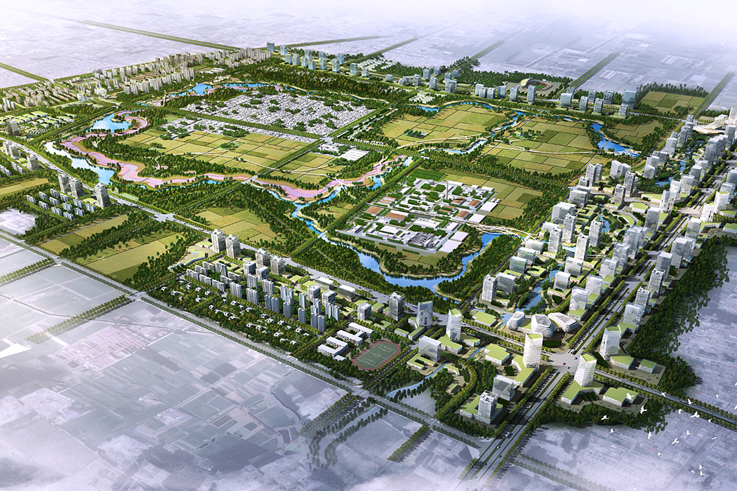
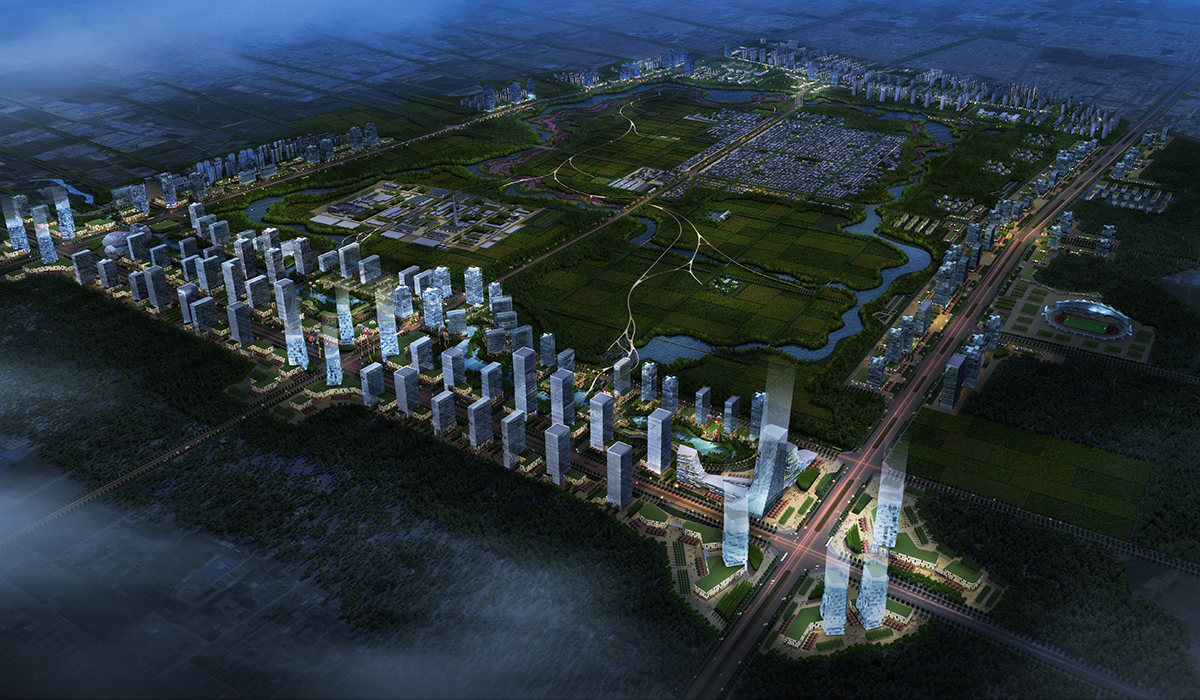
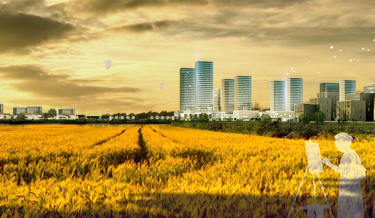
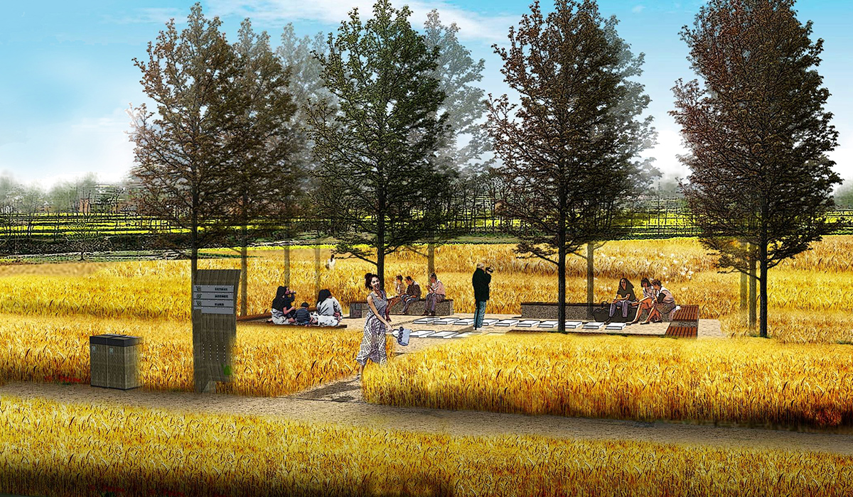
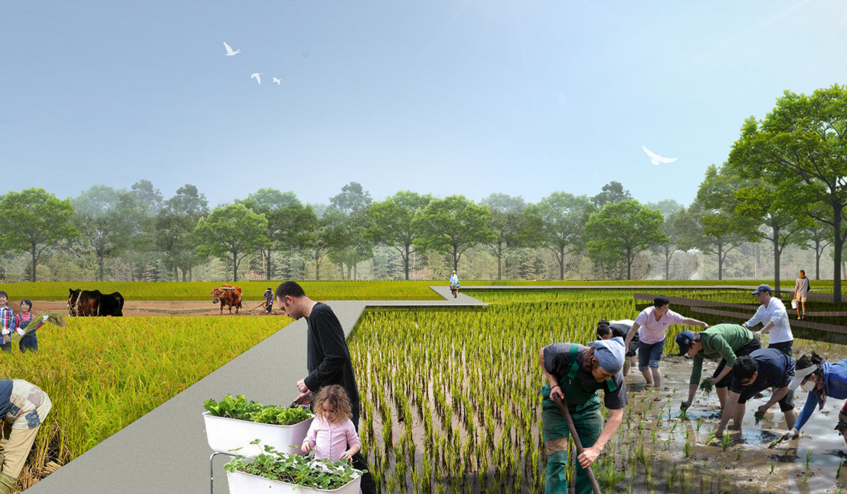
The Zhazi Mountain area in Luozhuang District, Linyi City, is located at the intersection of the city's "cross-shaped" development axis. It is situated east of the Luozhuang District government, bordered by Tongda Avenue to the west, Yimeng Avenue to the east, Hubei Road to the north, and Luocheng Road to the south. The area benefits from convenient transportation and good accessibility. With a total planned area of approximately 11.9 square kilometers, it is poised to become the future business and administrative center of Luozhuang District. The designers face common challenges of urban expansion, such as balancing ecological preservation with construction. They have adopted an agrarian complex model, addressing the memories of villages, basic farmland, and existing factories. This model bestows the project with three major functions: ecological conservation, leisure tourism, and urban development, aiming to build a recreational, cultural, and business center in Luozhuang District and create an ecologically livable "agrarian complex" promoting a slow-paced lifestyle.
2. Objective and Challenge
By conducting research and analysis on the site's current land use, transportation, water systems, infrastructure, architectural style, and land ownership, the project's advantageous and limiting factors have been summarized. The Luozhuang District, a key industrial area of Linyi City, benefits from convenient external transportation and concentrated industrial and urban-residential land use, which facilitates development. Additionally, the large areas of agricultural and forestry land provide a strong foundation for creating an "agrarian complex." The site also includes a drainage canal and ponds formed from abandoned mining pits, which can enhance the ecological environment as key design elements.
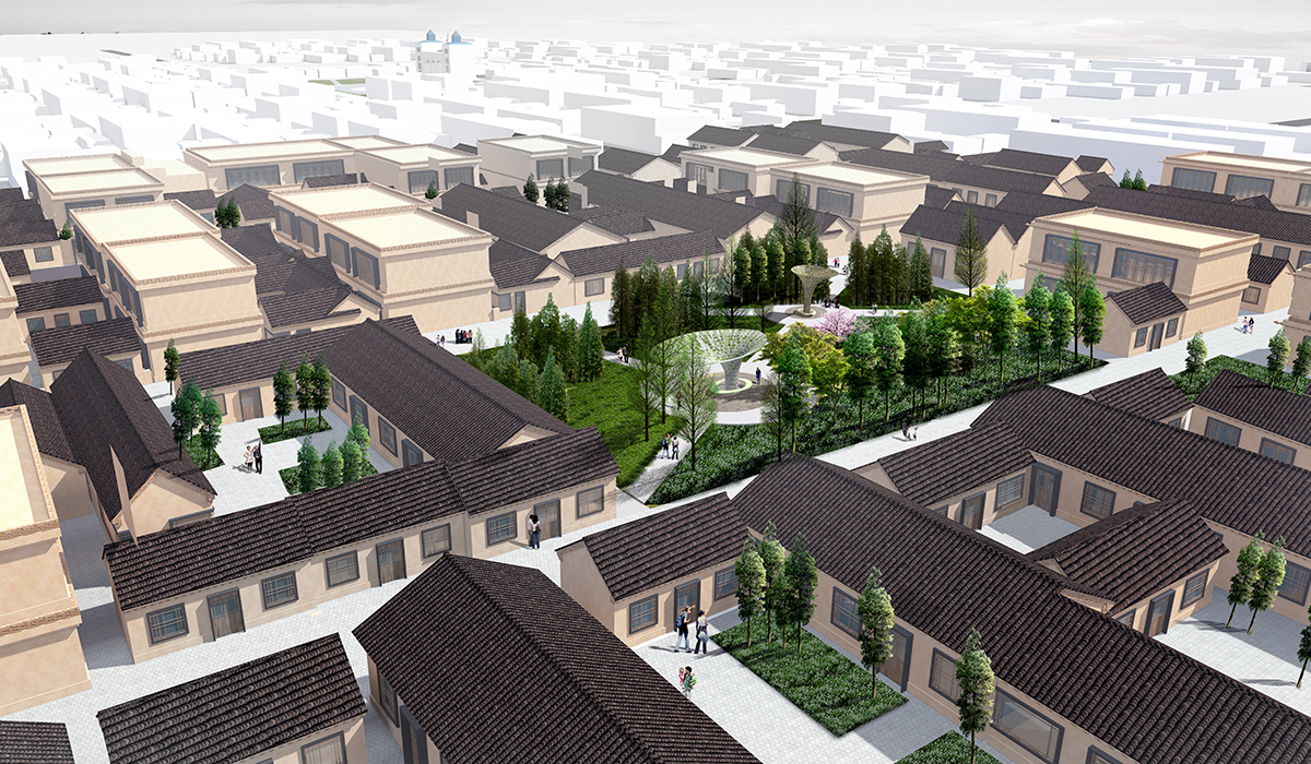
However, the project faces two main constraints. First, Huabucun Village, an Islamic village, presents significant obstacles to redevelopment and demolition due to religious beliefs and land ownership issues. The village's architecture is chaotic and densely packed, lacking open spaces, which complicates redevelopment efforts. Second, the land ownership of other areas is complex, with sold lands and existing factories requiring independent functional considerations.
3. Design Strategy
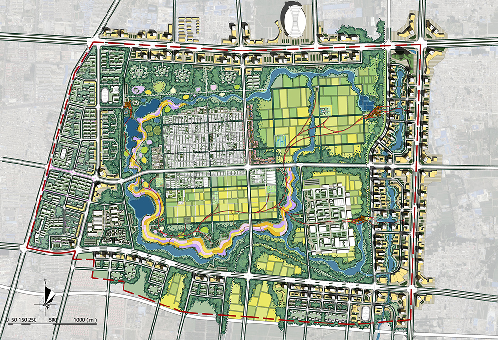
To construct an urban pattern that achieves both ecological and economic benefits, the designers employ two major strategies: the inviolable rigid constraint of ecological infrastructure and the flexible aggregation-segregation approach to landscape patterns.
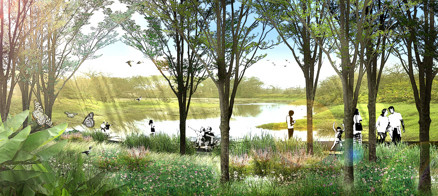
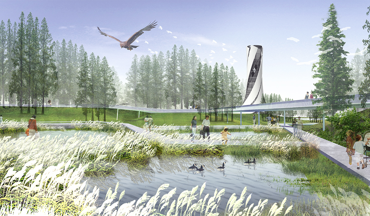
Ecological Infrastructure is established under the guiding principle of reverse planning. Reverse planning is a "backward" planning procedure that defines rigid constraints on urban expansion and land development, providing sustained natural services for humanity. This principle aims to establish a sustainable ecosystem that offers healthy and safe living conditions for flora and fauna and comfortable recreational environments for people. The implementation of ecological infrastructure is based on the current land use of basic farmland and villages, determining landscape security patterns and creating a solid ecological foundation.
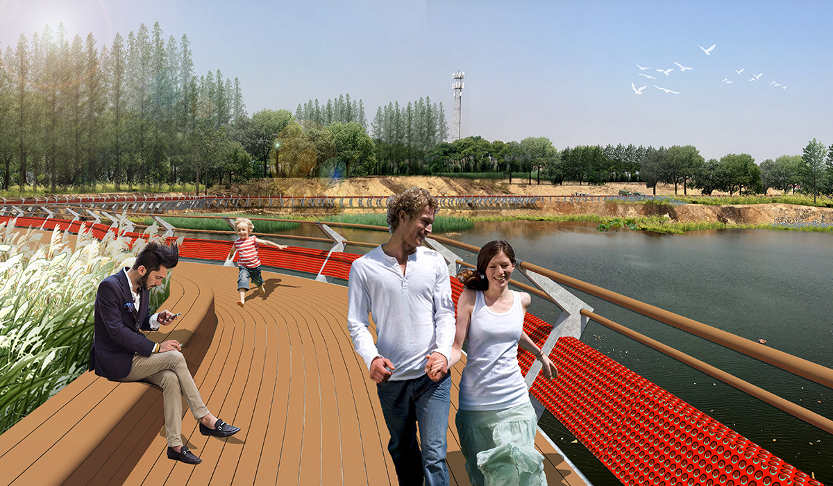
Optimal Landscape Pattern is achieved through two approaches. The ecological optimal approach seeks buildable land on the basis of landscape security patterns, combining optimal landscape patterns to balance ecological and economic development and ensure sustainable urban growth. The economic optimal approach adopts an intensive land development model to increase development density, meet urban economic development needs, and maximize the protection of the green heart. Expanding the green heart's boundaries increases the highest land value areas, further maximizing the economic value of the land.
4. Conclusion
By constructing wetland systems and organizing the texture of wheat fields, the project establishes the ecological infrastructure of the Zhazi Mountain area, creating a good ecological environment and ensuring the sustainability of the ecosystem. The project adopts a three-step approach of industrial heritage renovation, village style control, and concentrated rational development to form the optimal landscape pattern for the Zhazi Mountain area. This strategy aims to build the urban green heart of Luozhuang District, enhancing the economic value of the project. The project will serve as a recreational, cultural, and business center in Luozhuang District, with a backdrop of agricultural landscapes and a foundation of a modern organic ecological agrarian complex, creating an ecologically livable "agrarian city" promoting a slow-paced lifestyle.
