Xi'an Duling Ecological Heritage Park
Project Information
- Project Location:
- China Xi'an, Shanxi
- Project Scale:
- 457 Hectares
- Design Time:
- October 2016
Project Profile
1. Project Statement
The project is located in the southeastern corner of Qujiang, Xi'an, covering a total research area of 1,389 hectares, with a purple line protection area of 896 hectares. The site includes villages, the Duling heritage site complex, farmland, nurseries, and several completed leisure projects. The site factors are relatively chaotic. In the overall planning, this area is designated as an important heritage protection site in the southern part of Xi'an. In the green space system planning, it serves as a major ecological patch along the Chan River ecological corridor. In the land use planning of the Qujiang New District, this site, in addition to its heritage protection function, also includes some urban park supporting functions. There are numerous heritage points with wide distribution, making it difficult to clarify and confirm the protection scope of these heritage points. The Duling heritage protection plan has set clear purple line control boundaries for the macro area of the site. However, the current heritage protection work is concerning, with many construction projects conflicting with the heritage protection planning requirements.
2. Objective and Challenge
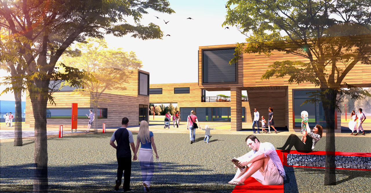
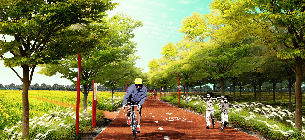
Xi'an is an important city in Northwest China. The project site is located in the Qujiang New District. Due to the impact of the recent ten-thousand-acre nursery project, the original ecological base of the site has been severely damaged, leaving behind many transplanted horticultural tree species. The site lacks organized surface water, causing soil erosion in some areas and damaging parts of the heritage. Currently, the land within the site is divided into several areas for nursery planting and business activities, resulting in severe land fragmentation and unclear land ownership. Within the purple line protection area, there are numerous newly built business buildings that do not comply with the protection planning requirements. Some village areas within the site are within the purple line and require planning coordination. The site’s business projects are varied and lack a theme, with no connection to the Duling heritage. Moreover, the projects operate independently without unified planning and management, affecting future development. Some projects occupy large areas, resulting in land waste. The site has many business projects leading to chaotic traffic organization and a lack of orderly traffic arrangements for existing projects. Additionally, with the rapid expansion of the population and further urban development, there is an increasing demand for public green spaces.
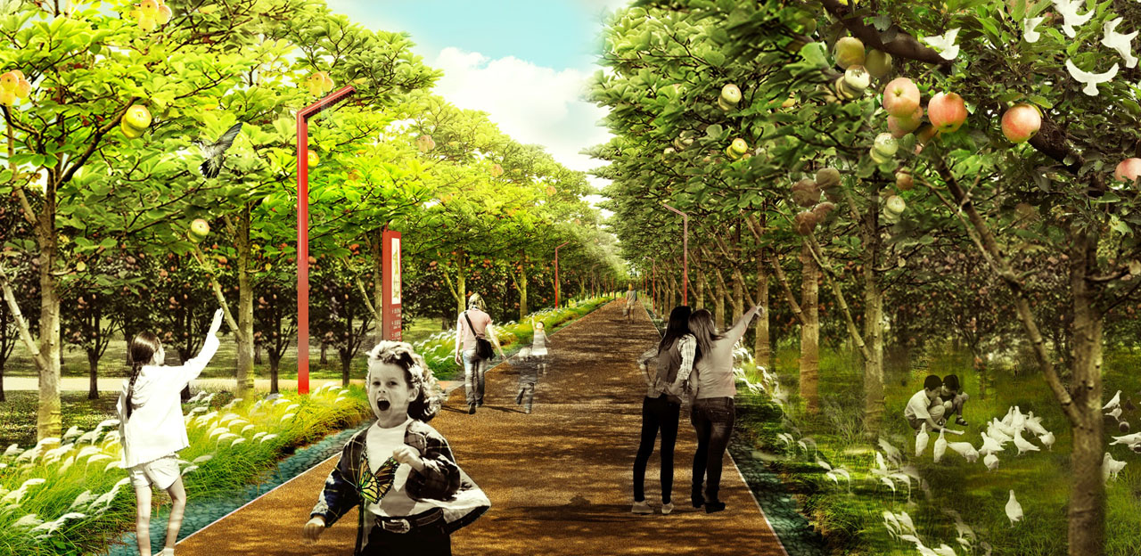
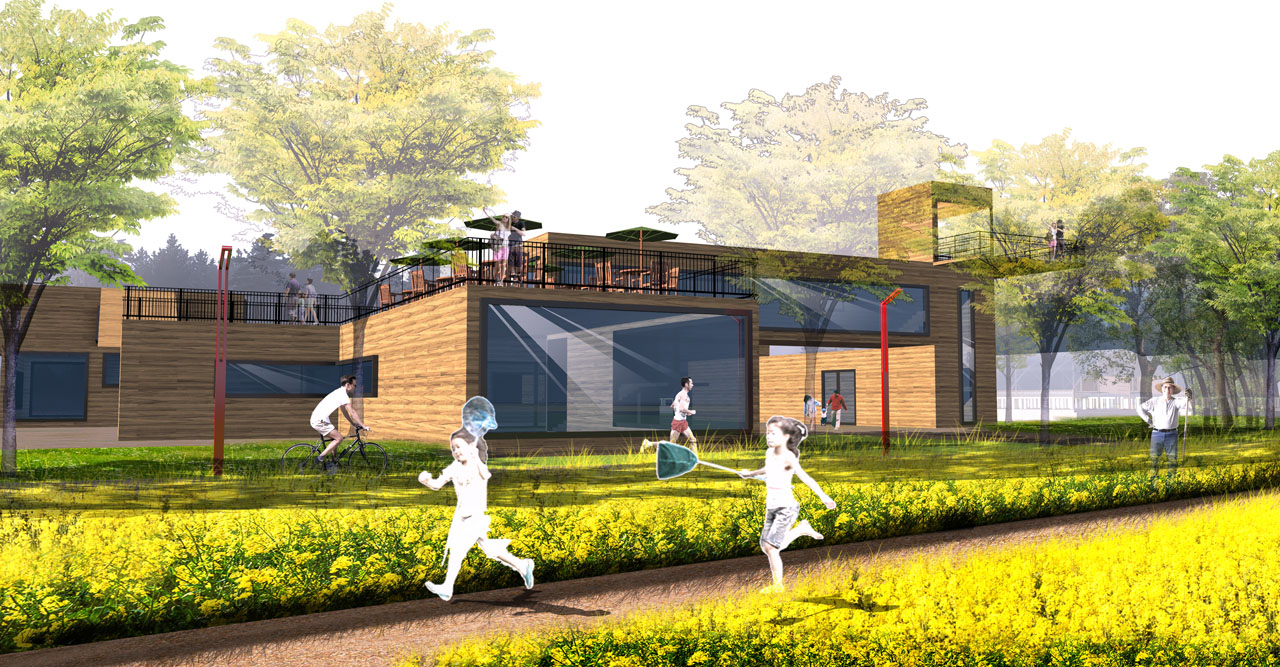
The design goal defines this project as a new attempt at a large-scale park development model. Through a comprehensive study of the site and the city of Xi'an, the plan proposes a farm park design concept, integrating community development, village renovation, leisure agriculture, heritage protection and display, and recreational health into a comprehensive open park. The design will focus on resolving the conflict between heritage protection and urban public functions. The core idea is to introduce social resources to jointly create an ecological agriculture park that provides healthy food for the city and fosters a healthy lifestyle.
3. Design Strategy
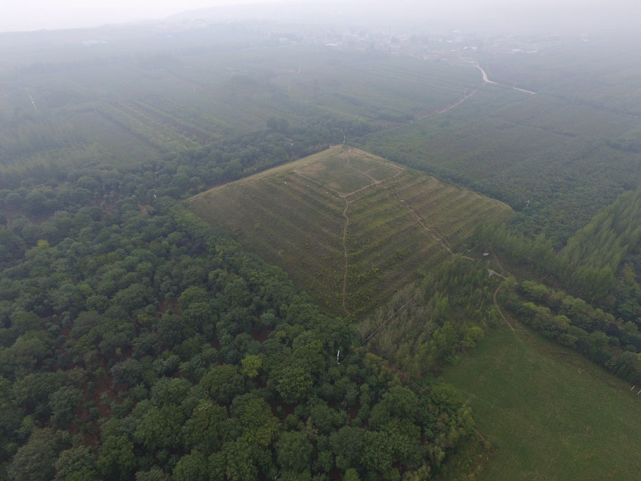
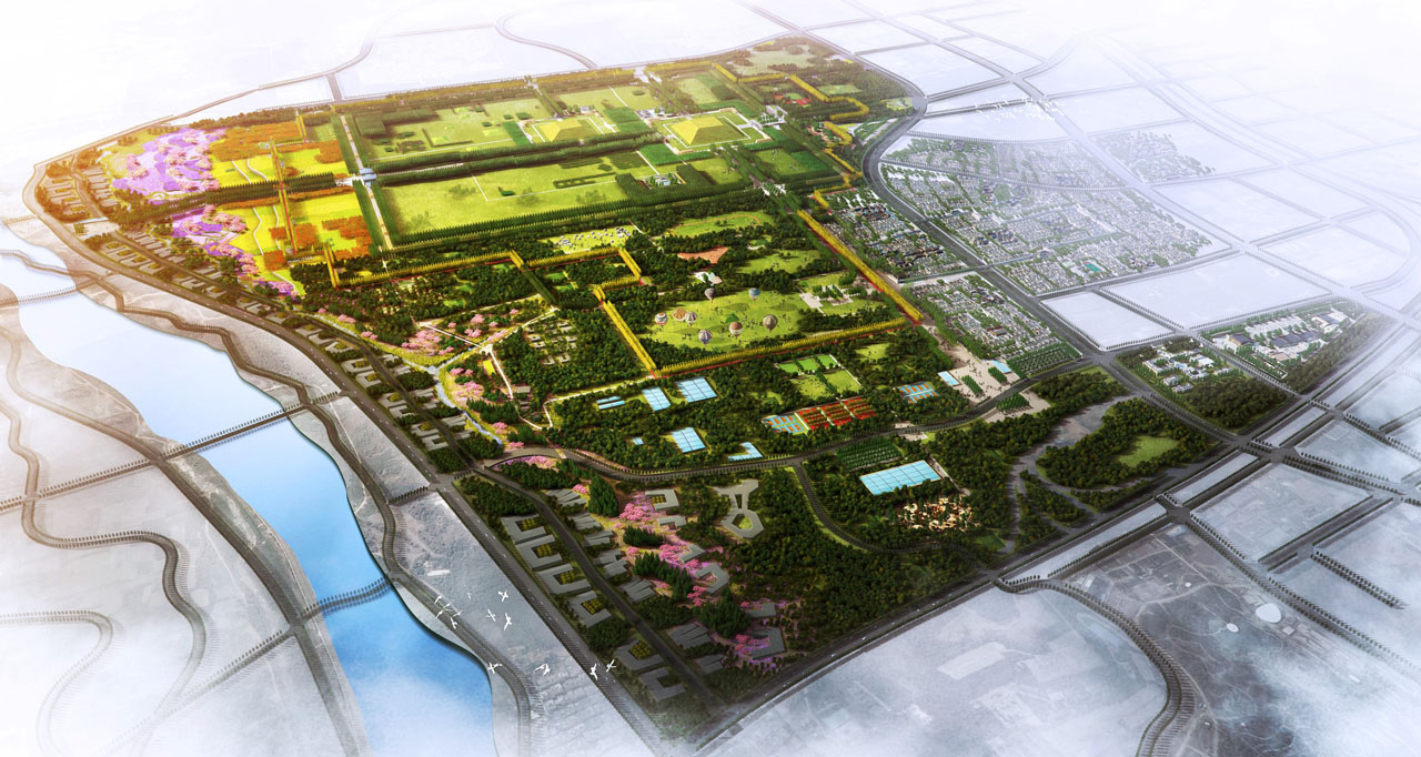
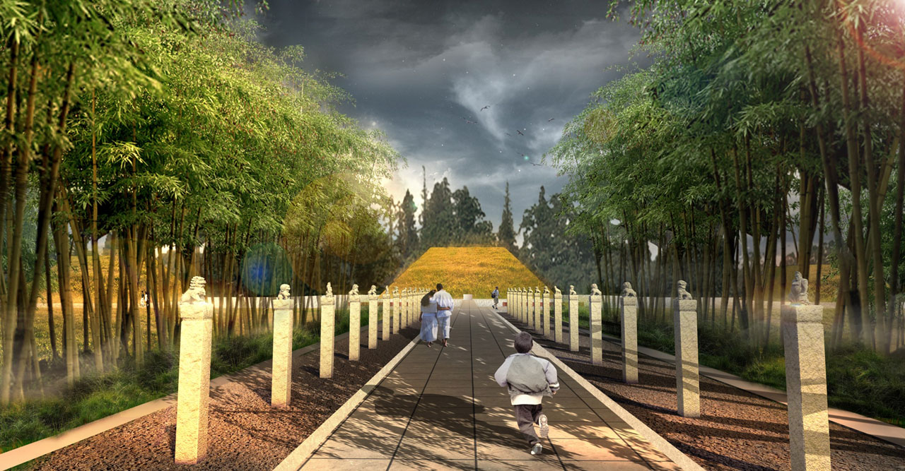
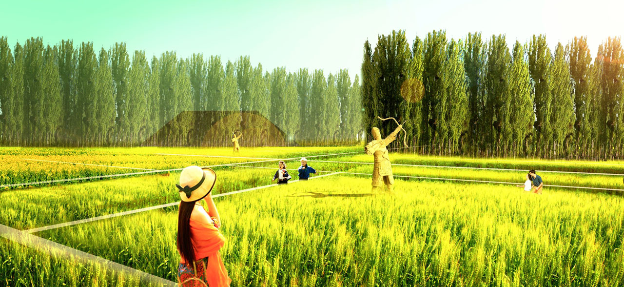
An open and shared imperial mausoleum park with a humanistic atmosphere; an ecological and productive park based on modern urban agriculture, combining heritage protection and urban-rural integration.
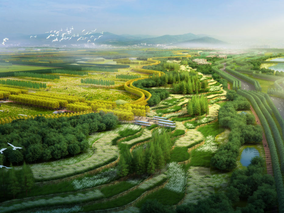
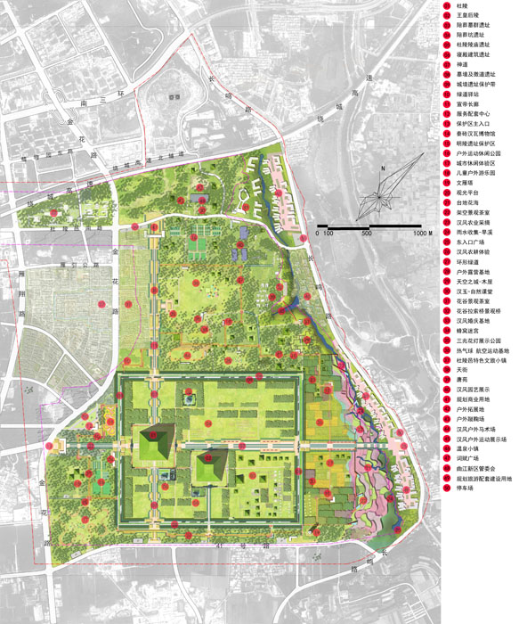
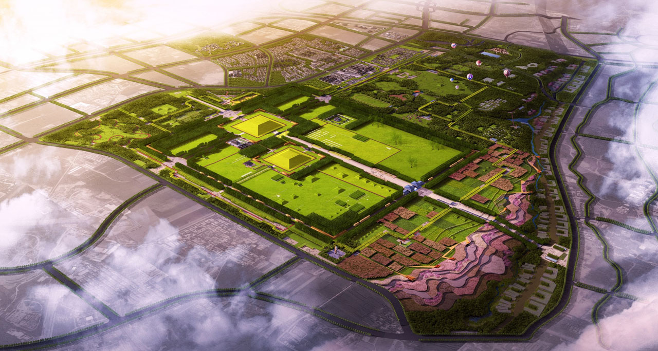
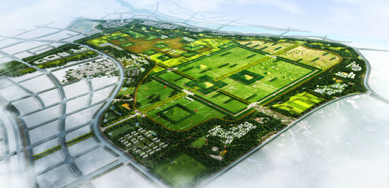
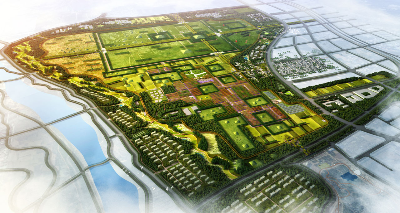
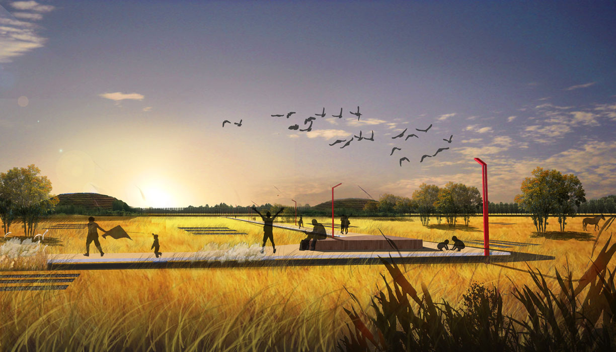
The planning proposes a ring, two zones, and three axes. The ring refers to an urban public space buffer zone approximately 400 meters wide around the park, covering about 670 hectares. The two zones refer to the northern farm park zone and the southern Duling core protection and display zone, with areas of approximately 230 hectares and 420 hectares, respectively. The three axes are three important spatial axes radiating outward from Duling as the core.
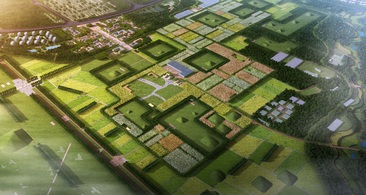
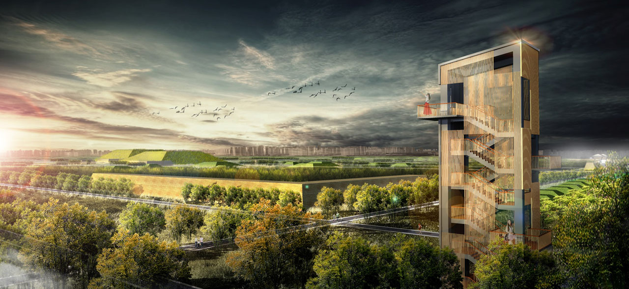
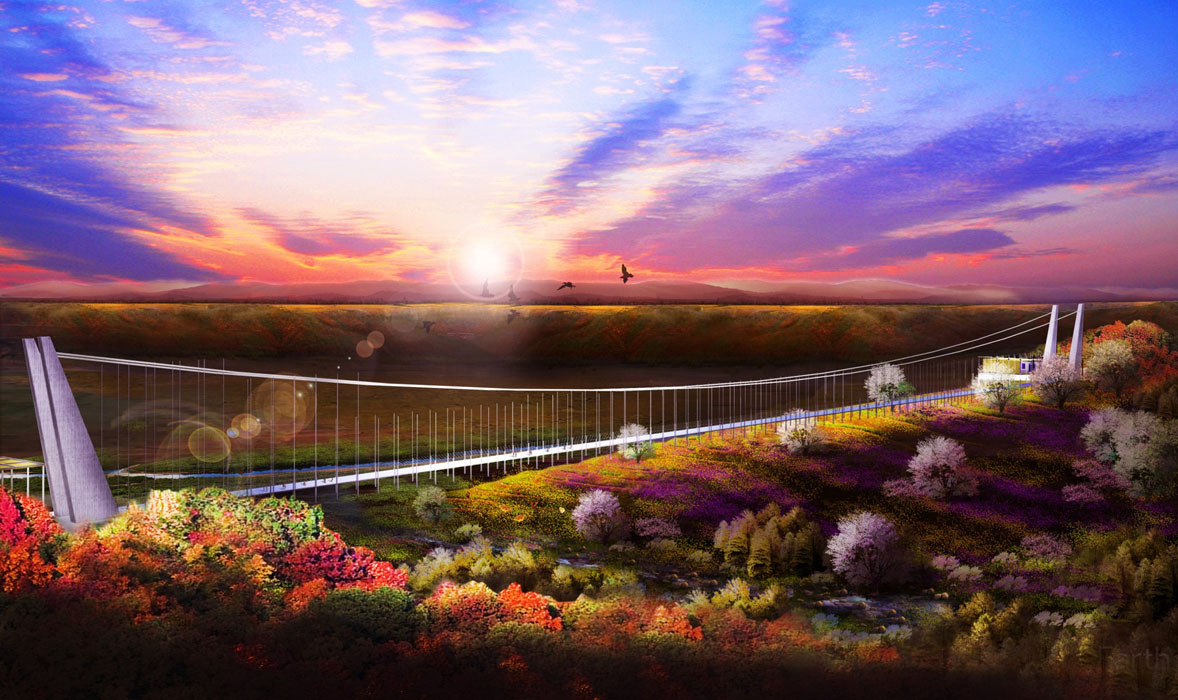
This design optimizes the urban spatial layout proposed by the upper-level plan, strengthens the edge effect of the park, and concentrates most of the open green space functions on the boundary land to form a vibrant urban ring around the heritage park. This enhances the city-park interaction to meet the growing demand for outdoor recreation among citizens. The plan proposes restoring agricultural production on vast fragmented lands, introducing social resources to manage and operate the farm park, and providing more diverse and meaningful social services to the city through new agricultural industries. Within the purple line protection area, the design adopts reversible landscape strategies to resolve the conflict between protection and construction in the core heritage zone. All landscape elements in the core protection zone, including road paving, structures, and buildings, use low-impact, removable special engineering designs.
4. Conclusion
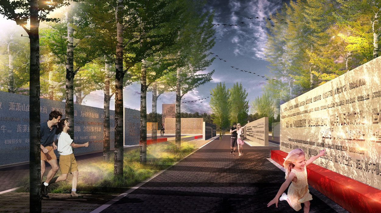
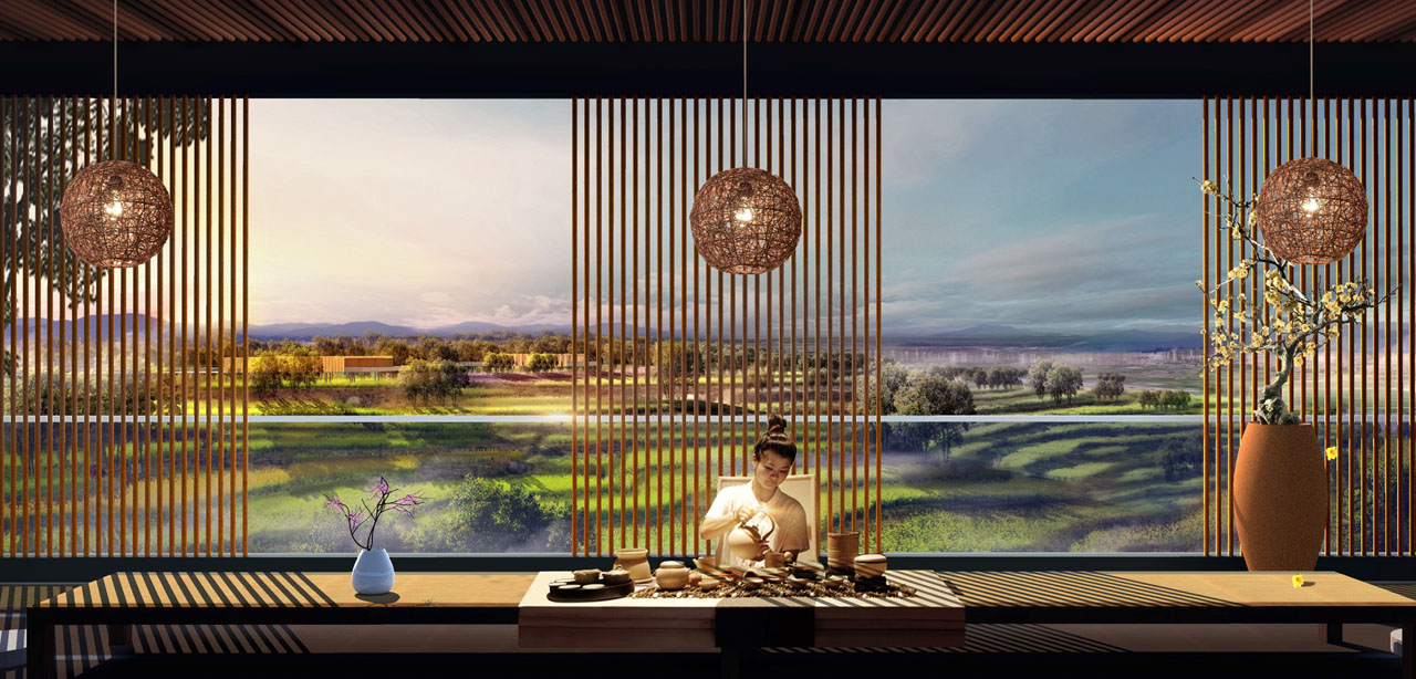
Through these landscape design strategies, the fragmented site will be integrated and revitalized. The design will resolve the conflict between heritage protection and urban public functions. By introducing various attractions and activities such as sightseeing city farms, photography bases, farmhouse accommodations, pastoral weddings, and forest tea rooms, visitors can fully experience an imperial mausoleum park with a humanistic atmosphere.
